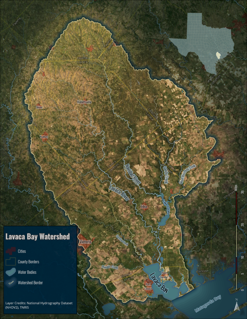
A large portion of the Texas Coast is composed of coastal bays and estuaries that receive freshwater and nutrient inputs from small coastal watersheds. These coastal bays and estuaries serve a vital role for tourism, recreation, fisheries and other industries in Texas. Although many of these bays and estuaries are in healthy condition, recent assessments have highlighted “hot spots” for eutrophication and degraded water quality. Underlying the ability to mitigate and avoid undesired conditions is a need for sound data to base decisions. The goal of this project is to quantify and assess trends in dissolved nutrient loads exported from coastal watersheds.
Many coastal watersheds have relatively sparse water quality monitoring compared to larger river systems in the state. Therefore, we are using a phased approach to (1) assess the effectiveness of modeling methods using sparse monitoring data; and (2) identify data needs for synthesizing a reliable data repository of historic freshwater nutrient exports entering coastal bays. Phase 1 of the project focuses on Lavaca Bay, an embayment of Matagorda Bay.


